FROM LIGHT POLLUTION TO DARK ECOLOGICAL NETWORKS (2022 - 2025)
Geographic Information Systems are used both for modeling and statistically processing biological samples. The constant dialogue between a biological and cartographic approach ensures the robustness and interoperability of all data.
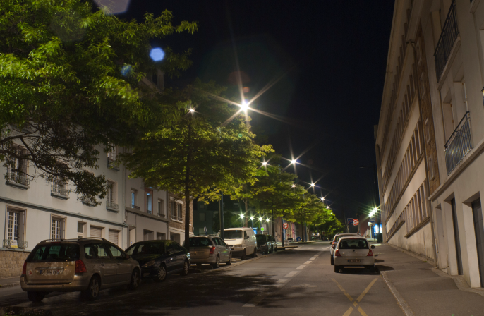
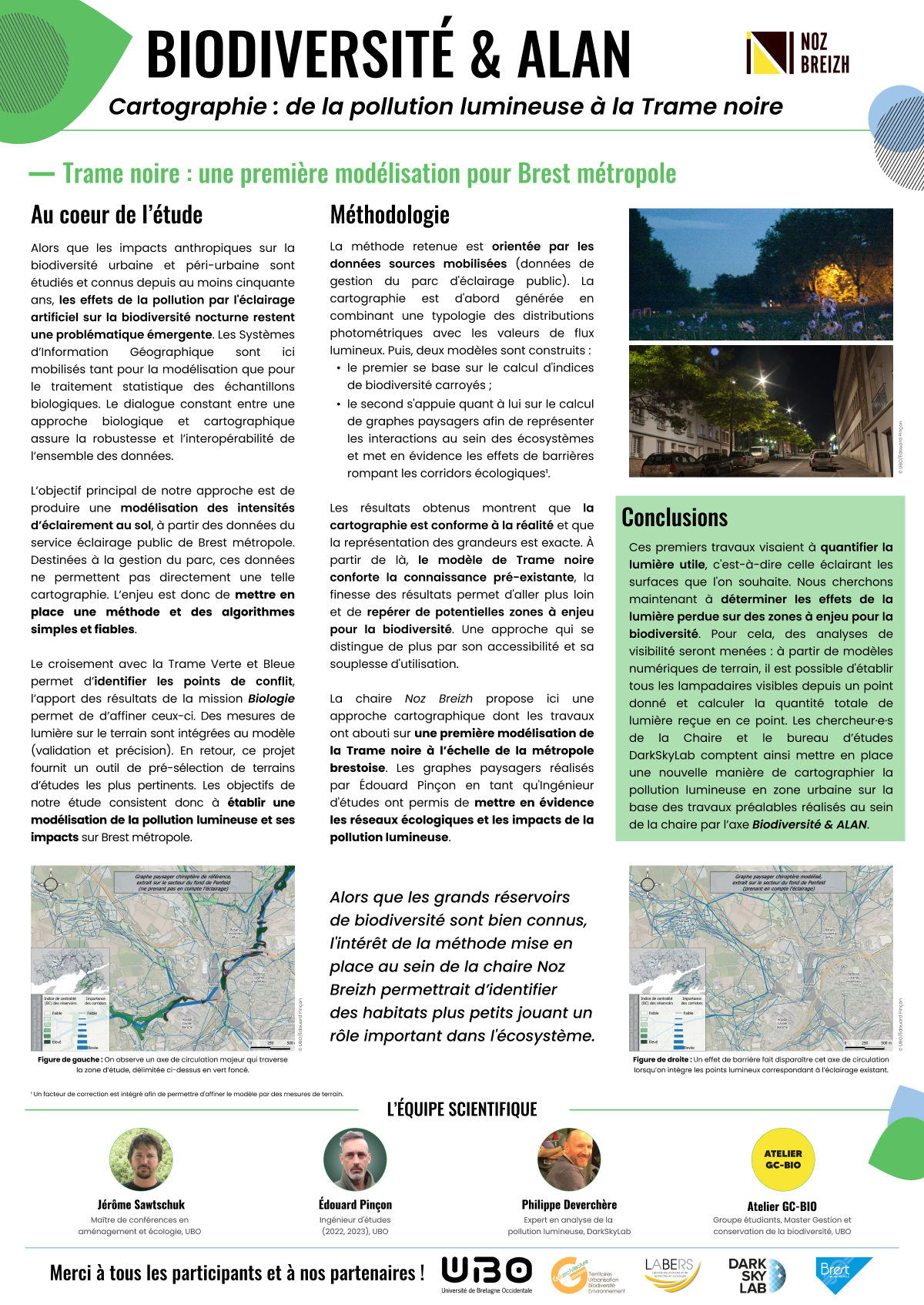
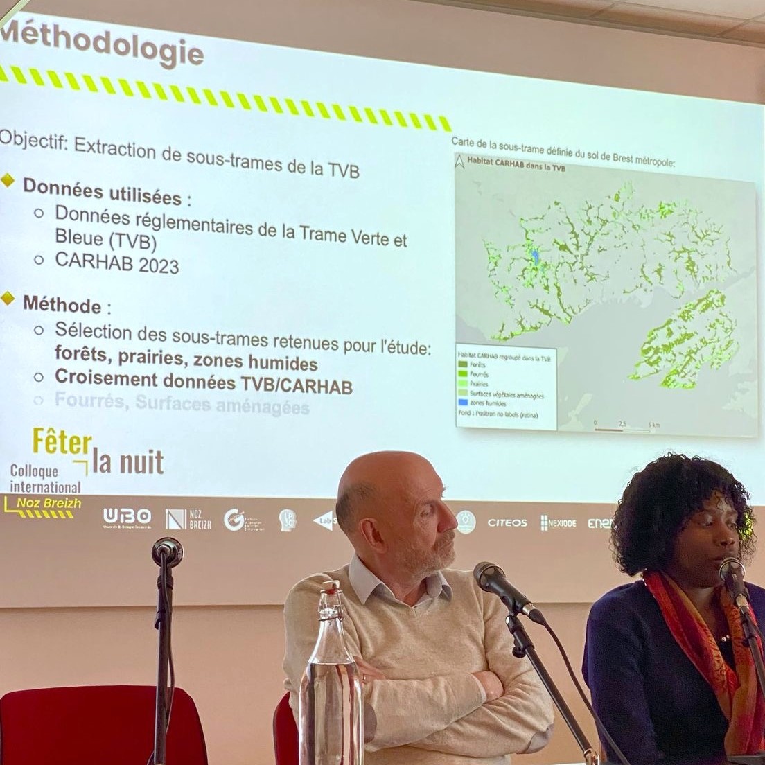
The main objective of this approach is to produce a model of ground lighting intensity, based on data from Brest métropole's public lighting department. These data are intended for fleet management purposes and do not directly enable this mapping.
The challenge is therefore to establish a simple, reliable method and algorithms. Cross-referencing with the "Trame Verte et Bleue" (green and blue infrastructures) shall help identify points of conflict and the results of the "Biology" mission will be used to refine these. Field light measurements are integrated into the model (validation and precision). In return, the project provides a tool for pre-selecting the most relevant study sites.
The method chosen used public lighting management data:
- The mapping was first generated by combining a typology of photometric distributions with luminous flux values (Figure 1).
- Two models were built (Figure 2 and 3) in order to represent interactions within ecosystems and to highlight the effects of barriers that break up ecological corridors.
- A correction factor was included to allow the model to be refined by field measurements.
The results obtained showed that the mapping is consistent with reality and accurate. The Dark ecological network model confirms the pre-existing knowledge and makes it possible to identify potential areas at risk for biodiversity. This initial work aimed to quantify light that only illuminates desired surfaces. The finesse of the results makes it possible to go further and identify potential biodiversity hotspots, an approach that stands out for its accessibility and flexibility of use.
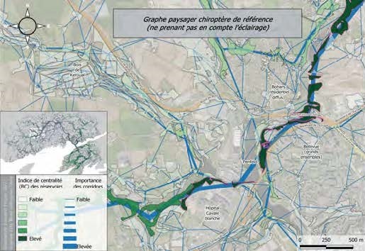
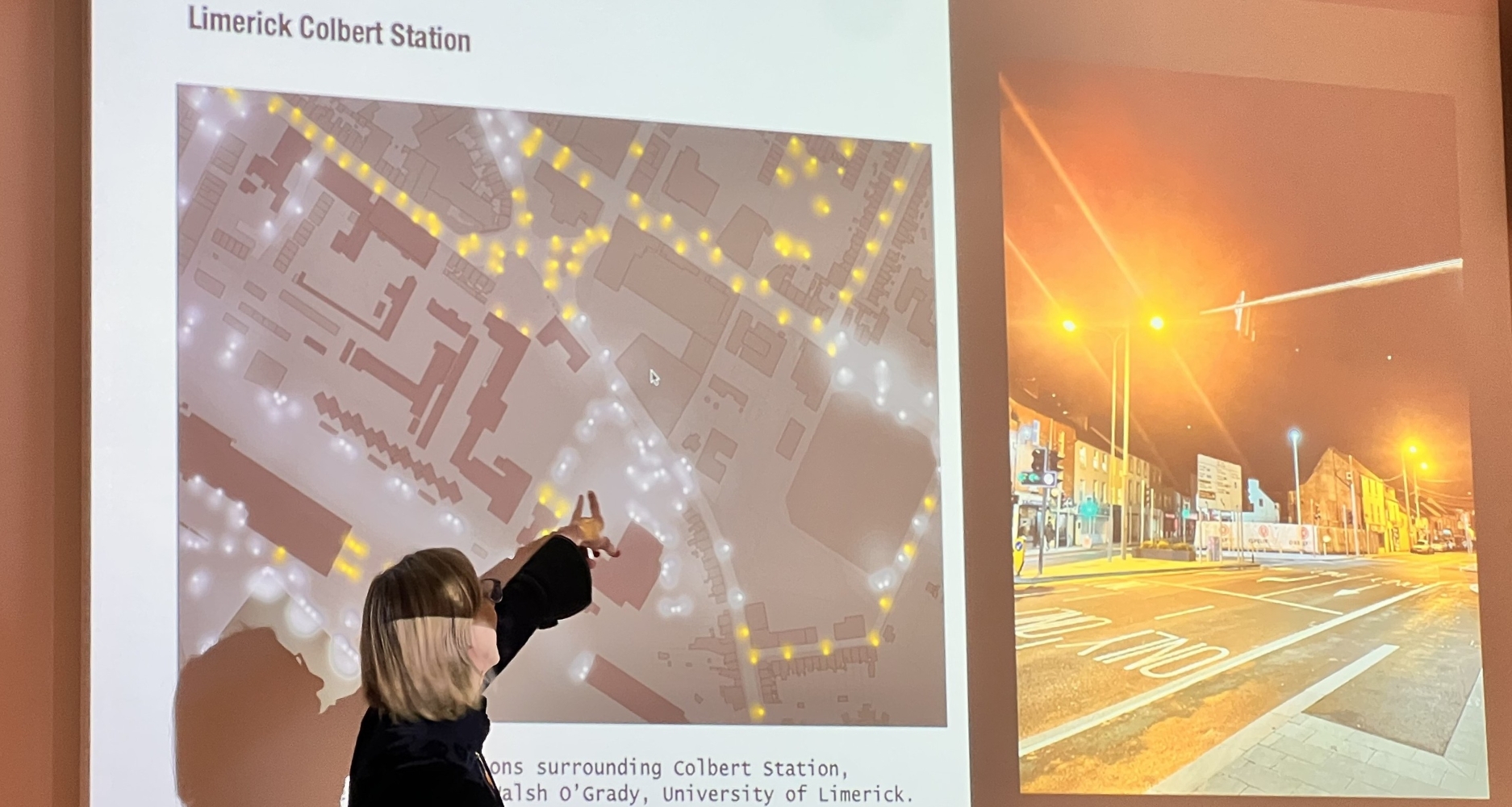
Trame noire: an initial model for the Brest metropolitan area
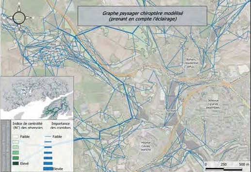
The Axis 3 of Noz Breizh Chair proposes a cartographic approach, the work of which has resulted in an initial model of the "Trame noire" at the scale of the Brest metropolitan area. Following on from his M2- Aménagement et Urbanisme internship with the Chair, Édouard Pinçon has continued the mapping work initiated around the Dark ecological network of Brest Metropole as a Research Engineer.
Among the first results obtained, an extract of which we present below on a key sector (the Penfeld river bed), landscape graphs have highlighted ecological networks and the impact of light pollution. While the major reservoirs of biodiversity are well known, the interest of the method implemented would enable the identification of smaller habitats that also play an important role in the ecosystem.
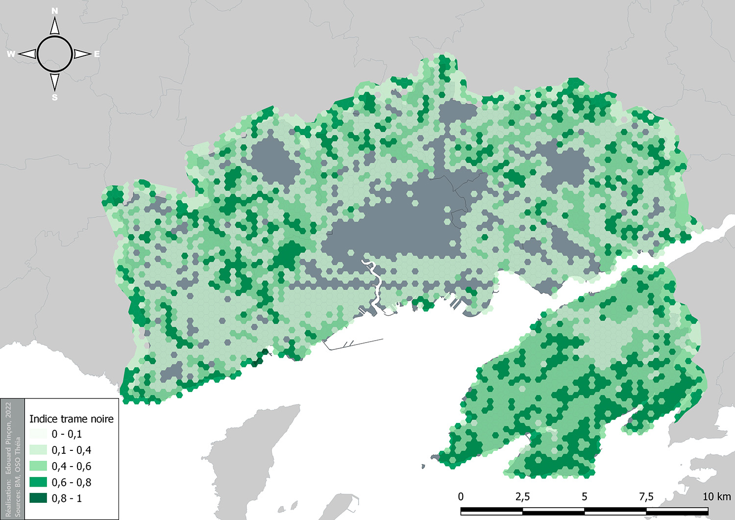
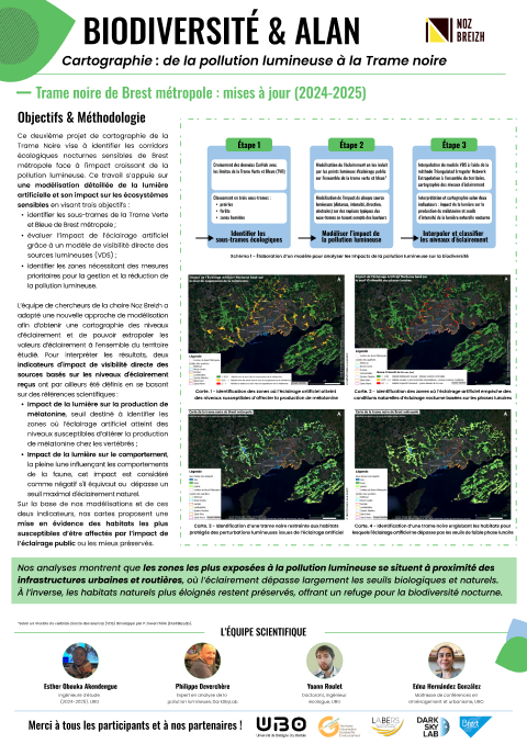
Building on this work, Edouard Pinçon (IGE 2022–2023, UBO), Jérôme Sawtschuk (LABERS, UBO), and Edna Hernández-González (Géoarchitecture, UBO) published an article in the journal Cybergéo presenting a methodology for mapping illuminated surfaces across the Brest metropolitean area. This approach combines public lighting management data with land-use data to construct a dark-sky model.
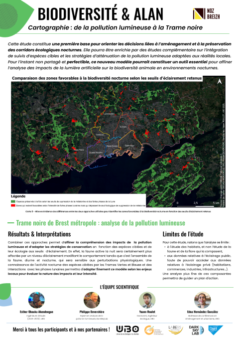
The results show that the mapping aligns with field observations and that the representation of illuminance values is consistent. Reinforcing existing knowledge, this Trame noire model is sufficiently accurate to identify potential areas of concern for wildlife and provide decision-making tools for land-use planning.
Mapping light pollution
This initial work aimed at quantifying useful light, i.e. that which illuminates the desired surfaces. In a second phase, we are now seeking to determine the effects of light pollution on areas critical for biodiversity. To achieve this, visibility analyses are being conducted: using digital elevation models, it is possible to establish all the street lamps visible from a given point and calculate the total quantity of light received at that point
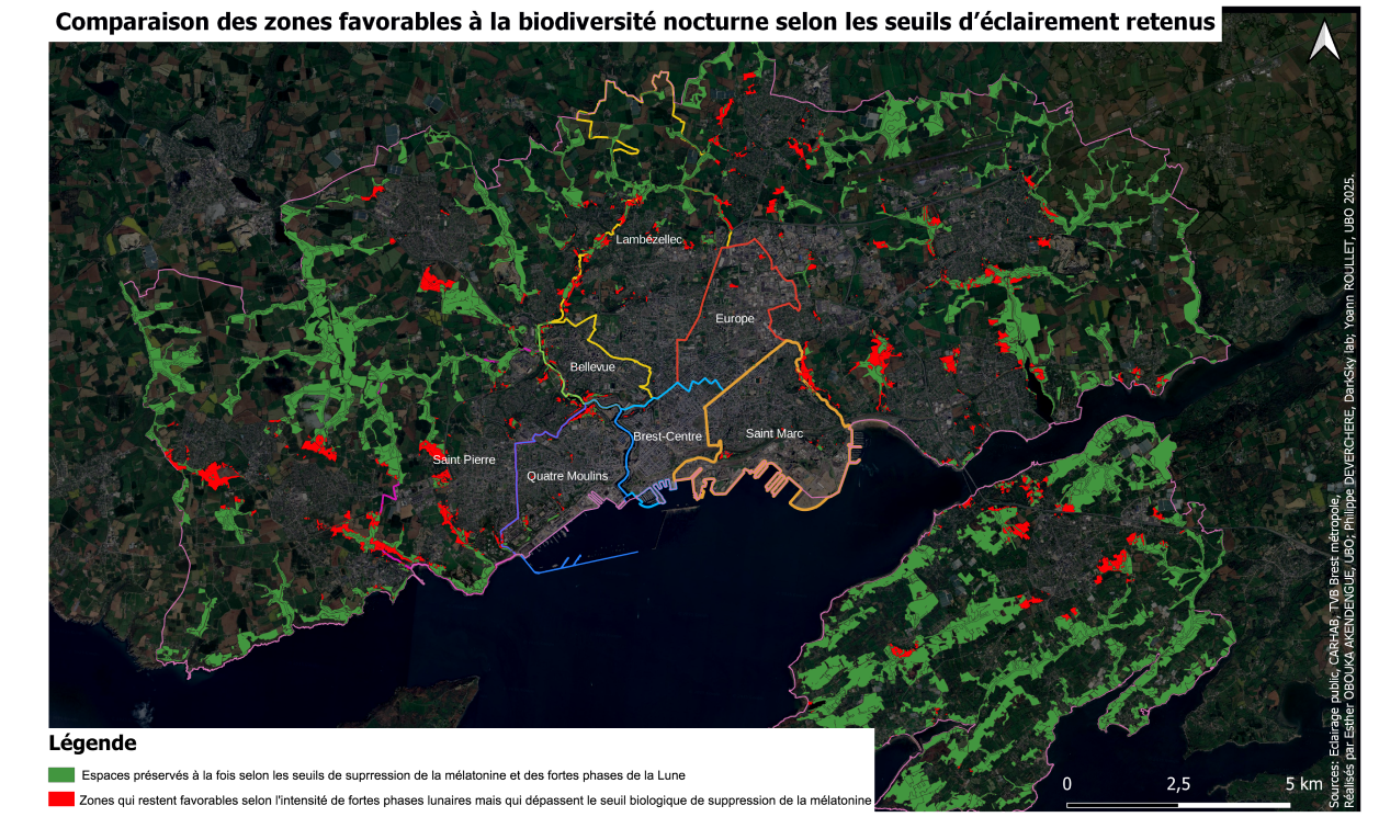
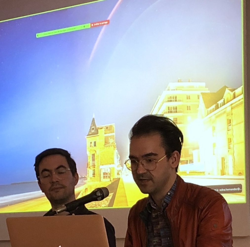
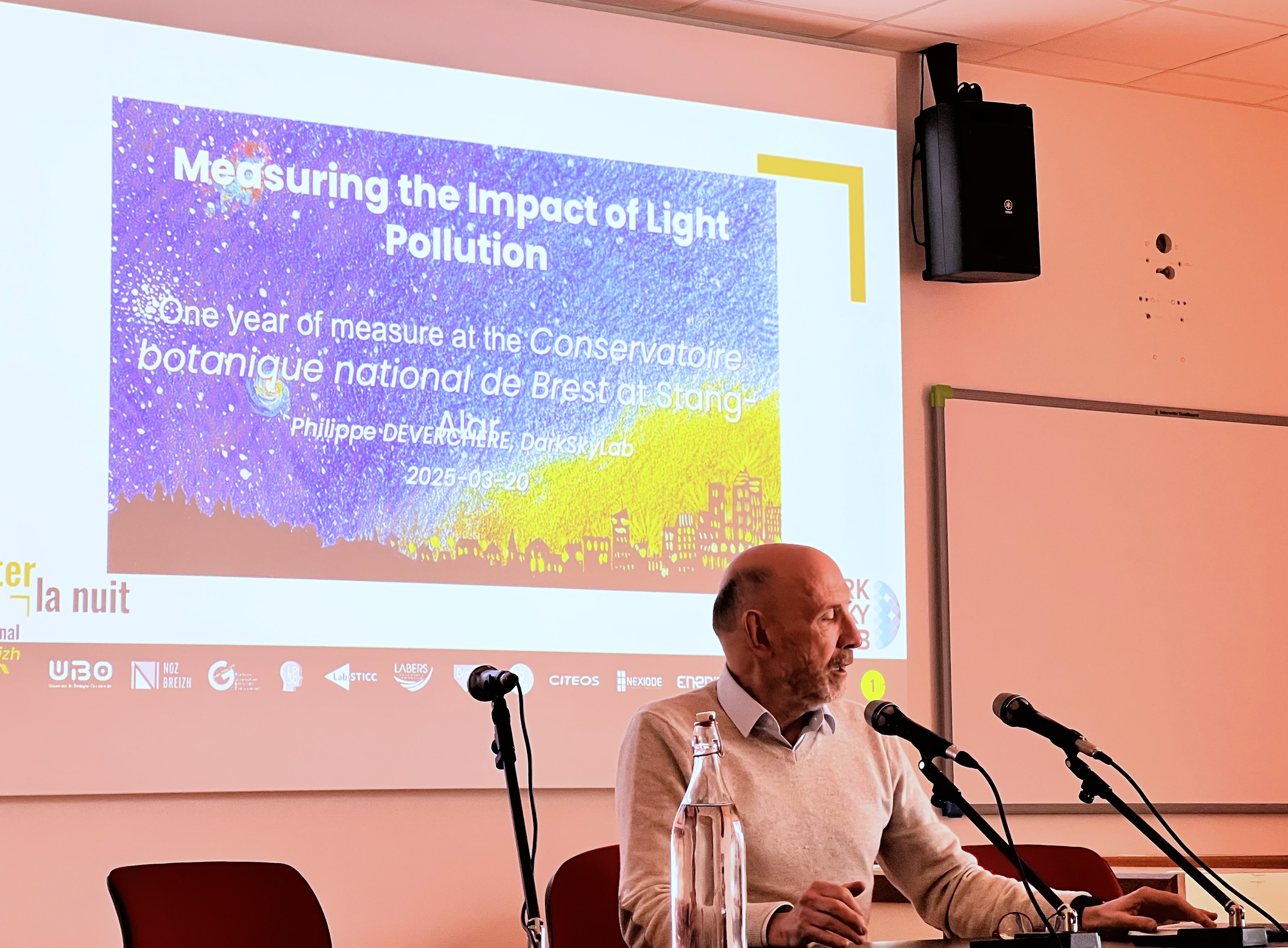
To finalize the mapping of the Trame noire in the Brest metropolitan area, Esther Obouka Akendengue (IGE 2024-2025, UBO), Philippe Deverchère (DarkSkyLab), Yoann Roulet, and Edna Hernández-González (Géoarchitecture Laboratory, UBO) explored an approach aimed at modeling in detail artificial light and its impact on sensitive ecosystems.
The proposed model creates a continuous map of illuminance levels and extrapolates illuminance values to the entire study area. To interpret the results, two indicators of the direct visibility impact of light sources based on received illuminance levels are also defined, drawing on two scientific references: the biological impact of light on melatonin production (Grubisic et al., 2019) on the one hand, and the intensity thresholds of natural nocturnal light (Jägerbrand et al., 2023) on the other.
The initial results of this study, which have not yet been published and still need to be refined, suggest that this new model could serve as an essential tool for improving the analysis of the impacts of artificial light on animal biodiversity in nocturnal environments.
Our publications
Scientific publications
Pinçon, E., Sawtschuk, S., Hernández González, E., (2024). Coupling data and methods, an original methodological approach to modeling the black frame, Cybergéo : European Journal of Geography (En ligne) DOI :
Conference papers
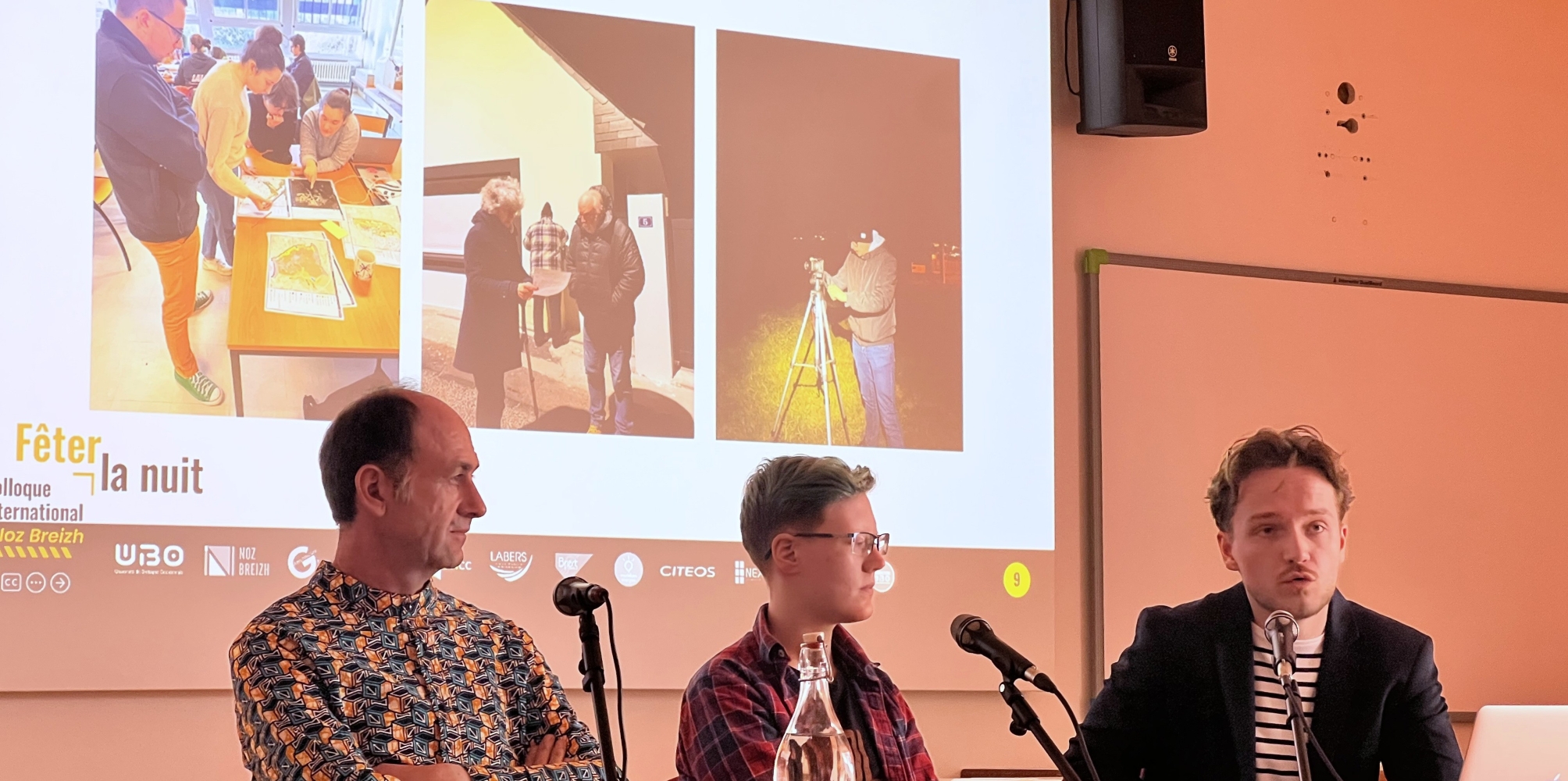
Obouka Akendengue E., Roulet Y., Deverchère P., Simulation de la Trame Noire à l’échelle de Brest métropole, Colloque International Noz Breizh, Mars 2025, Brest, France
Interships
Pinçon, E., (2022), Modélisation trame noire, Rapport de stage M2, Université de Bretagne Occidentale.
Contributions
Posters
Citation : Chaire Noz Breizh (2024), Cartographie : de la pollution lumineuse à la Trame noire, présenté dans le cadre du colloque Smart Noz, Brest, 18-20 mars 2024
Citation : Chaire Noz Breizh (2025), Trame noire de Brest métropole : vers un modèle finalisé, présenté lors du colloque Noz Breizh, Brest, 20 mars - 15 mai 2025
Citation : Chaire Noz Breizh (2025), Trame noire de Brest métropole : analyse de la pollution lumineuse, présenté lors du colloque Noz Breizh, Brest, 20 mars - 15 mai 2025
Our meetings
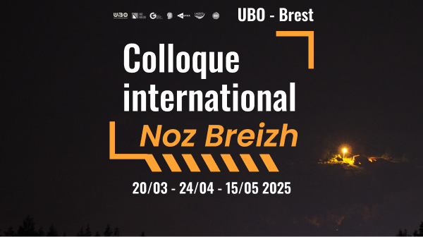
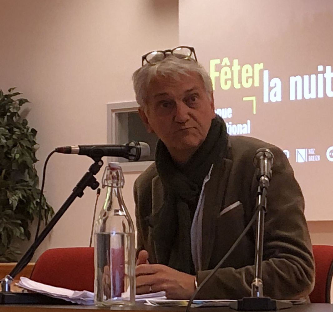
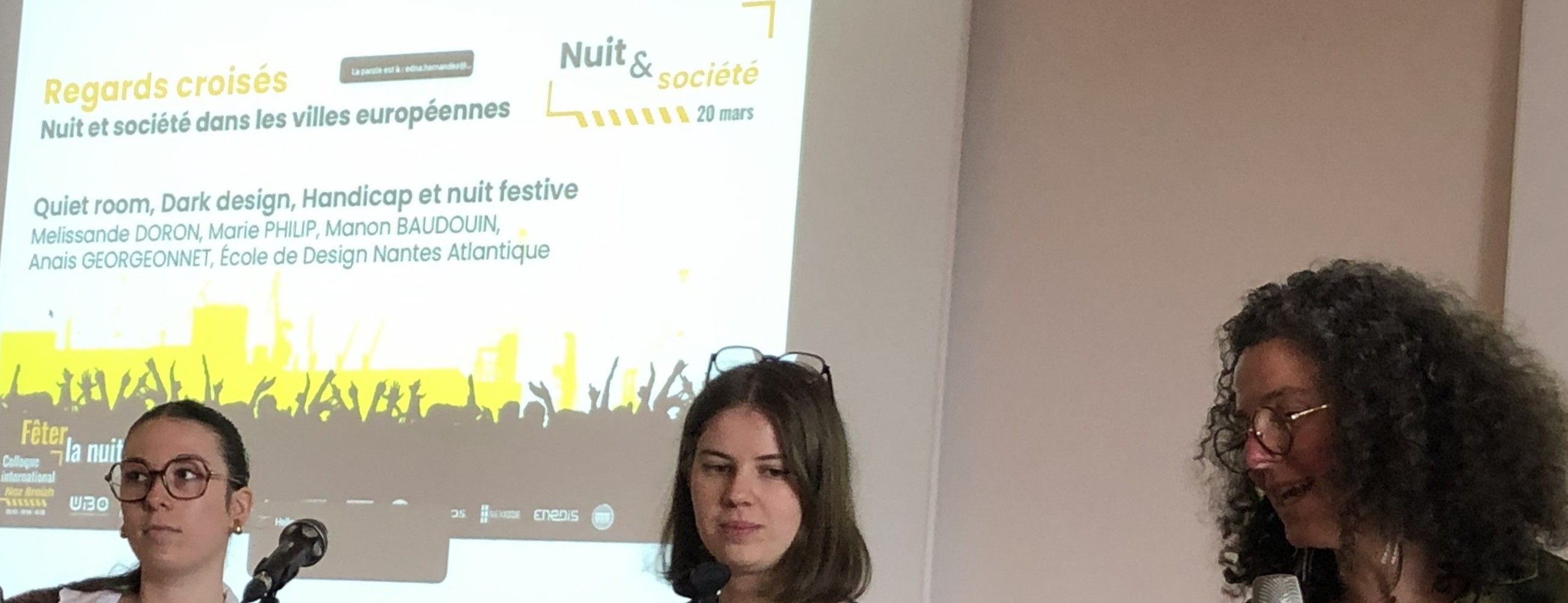
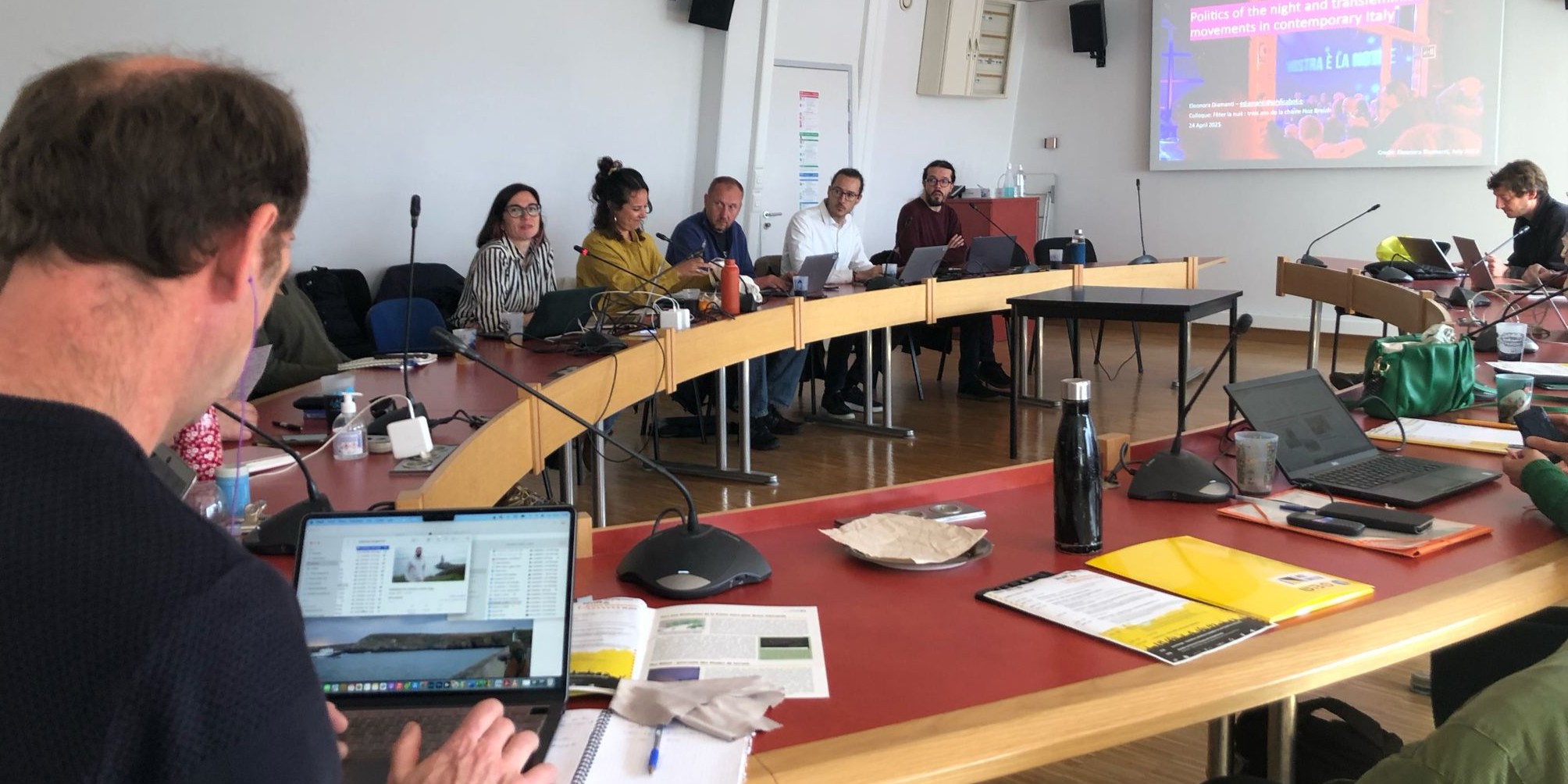
Au printemps 2025, l’UBO a accueilli Fêter la nuit, un colloque international destiné à clôturer trois ans de la vie de la chaire Noz Breizh. Le colloque a réuni ~60 intervenant·e·s afin d’explorer les dimensions et temporalités multiples que recouvrent les pratiques nocturnes urbaines dans le cadre de trois journées thématiques :
- 20 mars - Nuit & Société
- 24 avril - Nuit & Bien commun
- 15 mai - Nuit & Politique
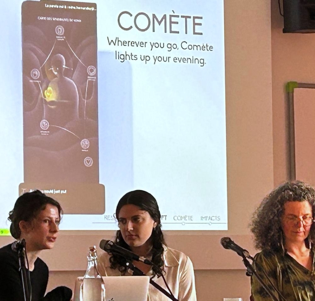
Outre les conférences, tables rondes, posters, démonstrations et animations au programme, les échanges scientifiques ont été enrichis par diverses propositions traitant de la nuit en hybridant les formes créatives et participatives.
Merci aux organisateurs et aux participants !
En ouverture du colloque
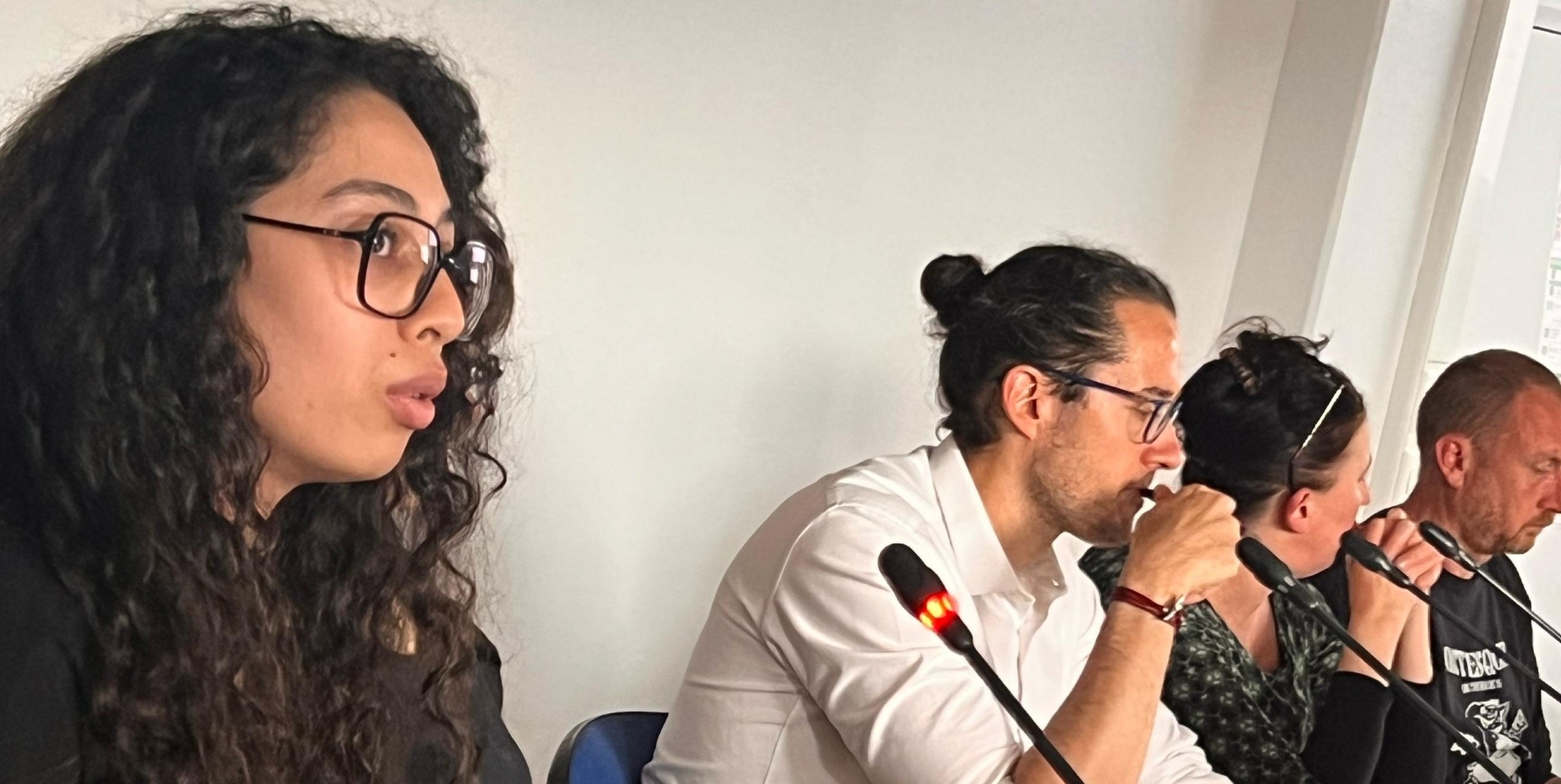
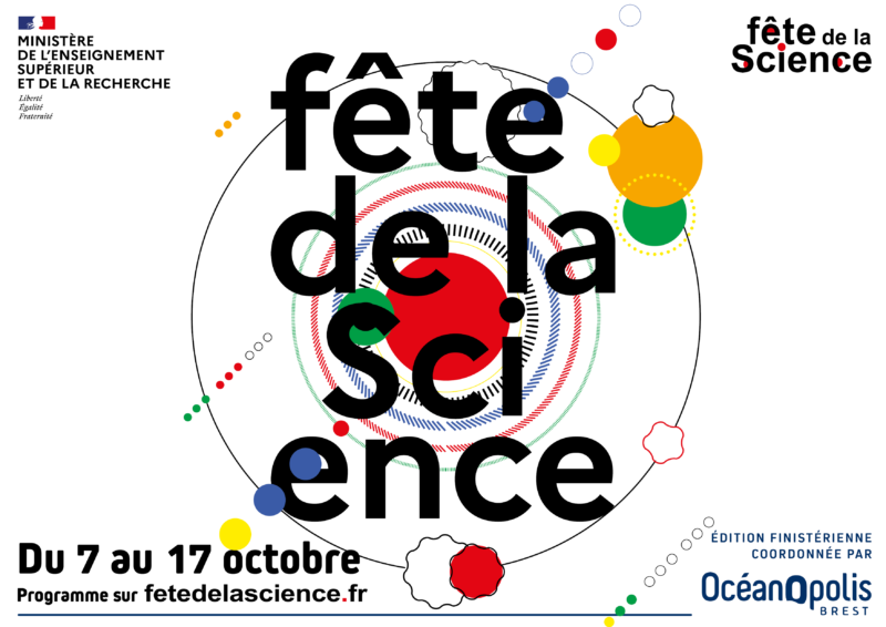
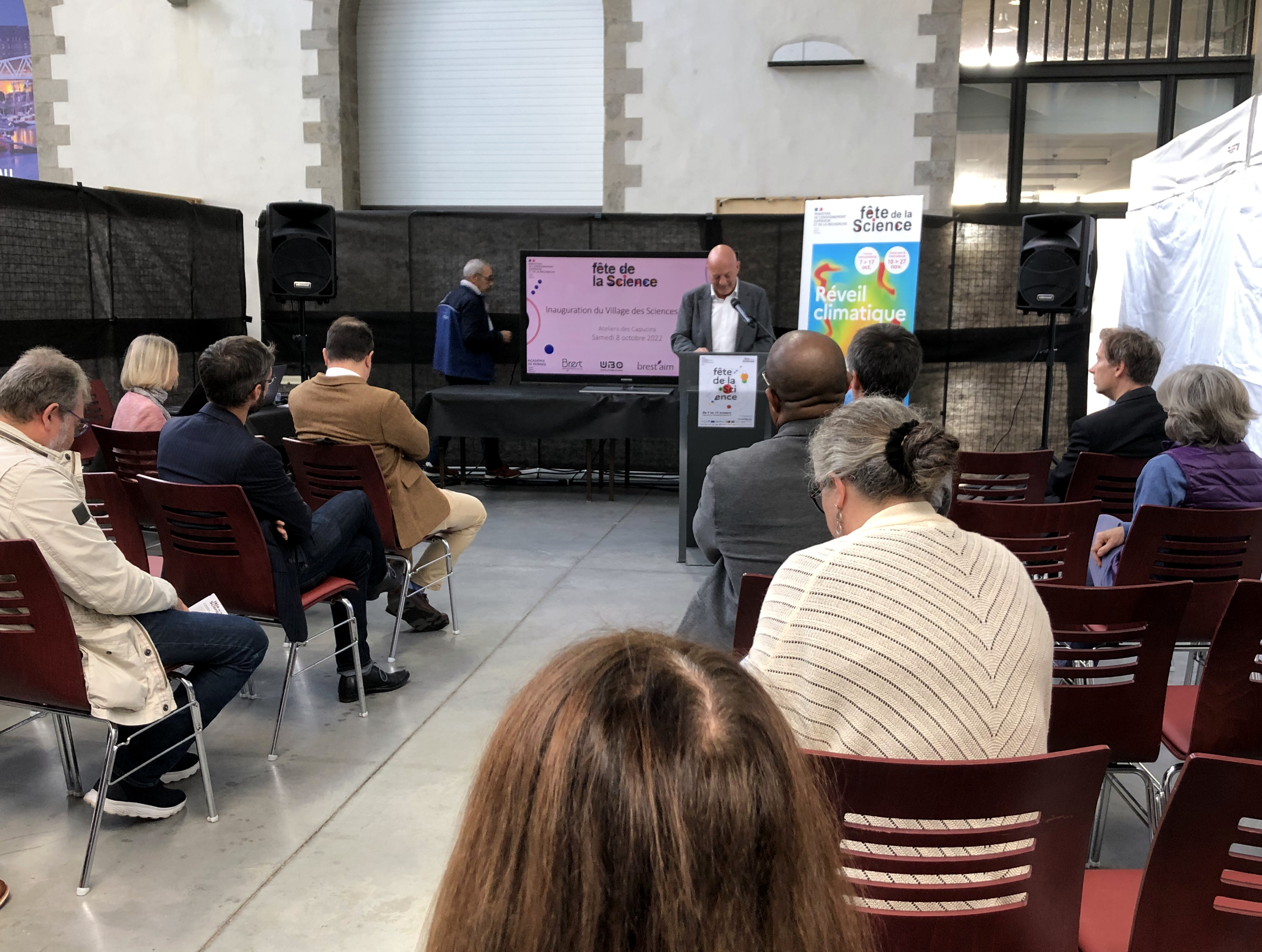
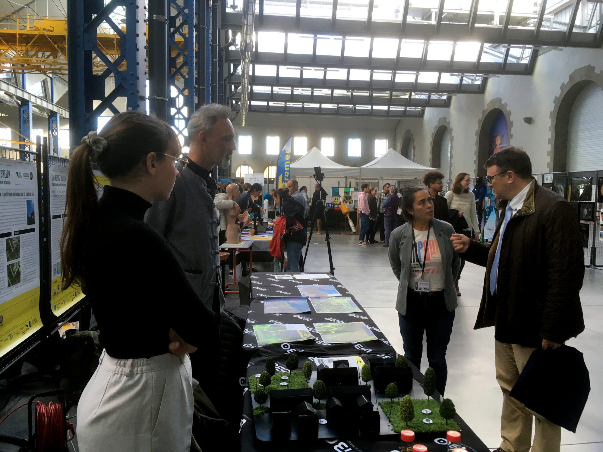
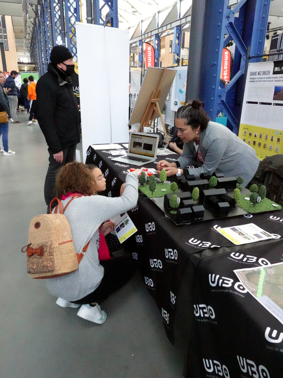
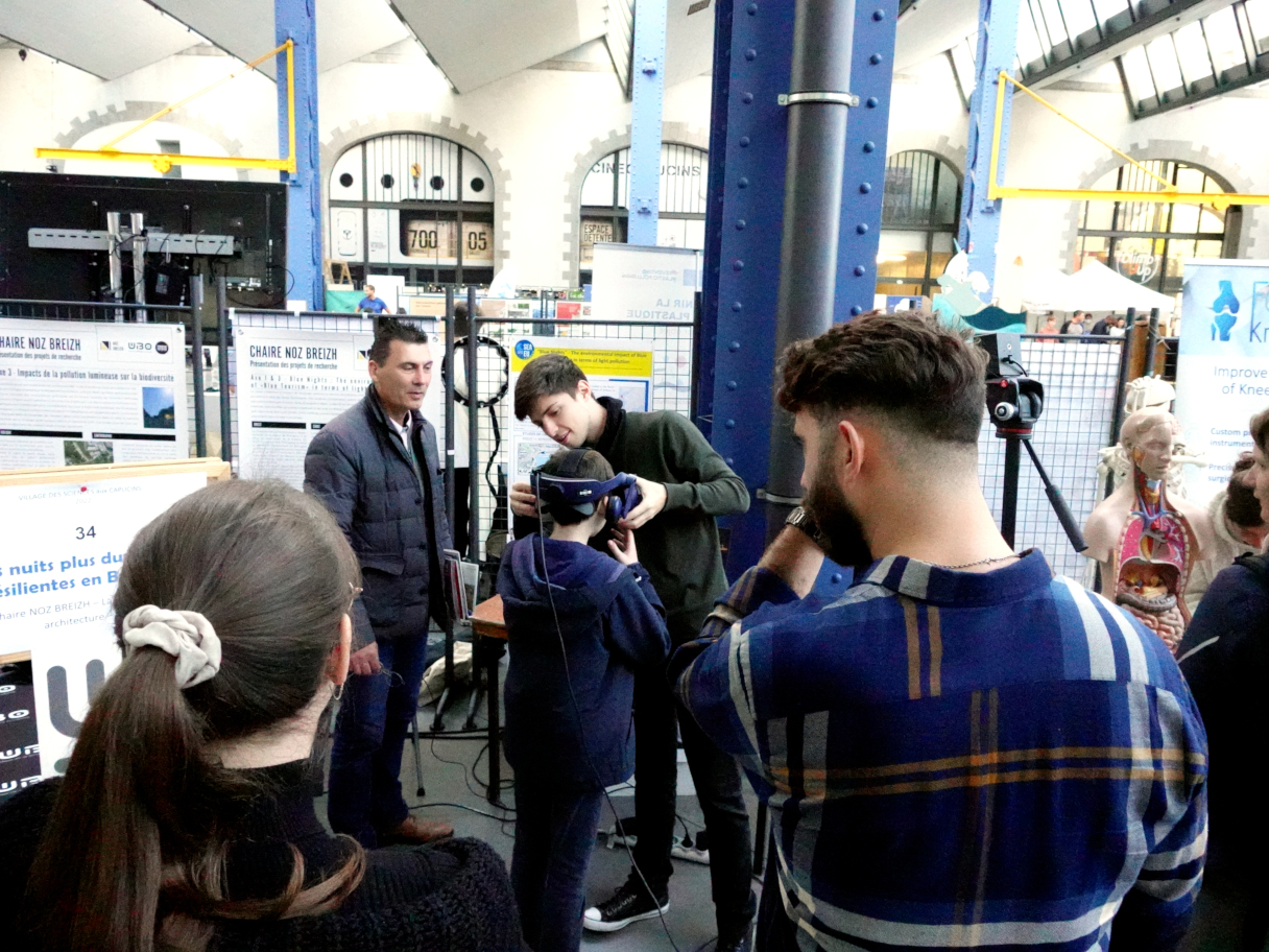
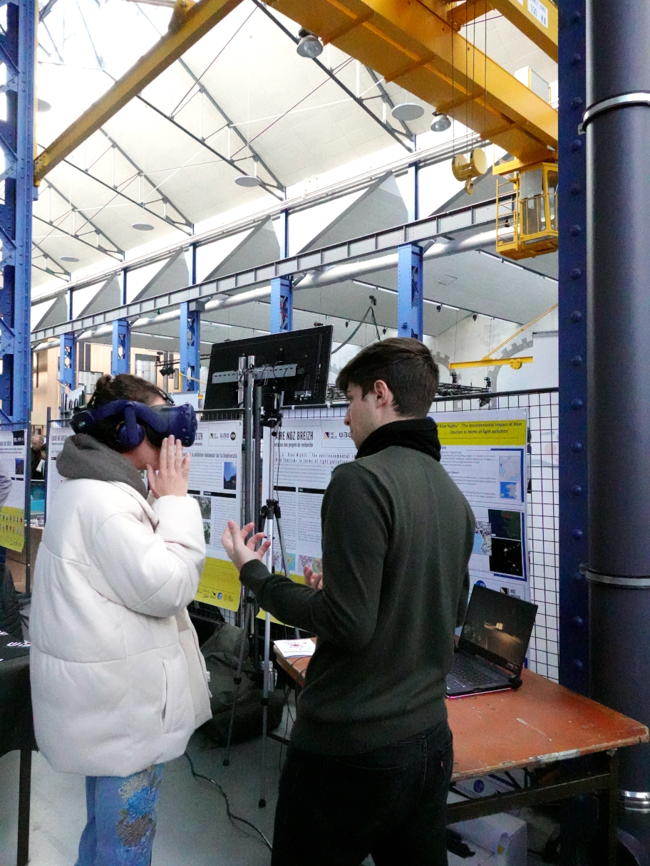
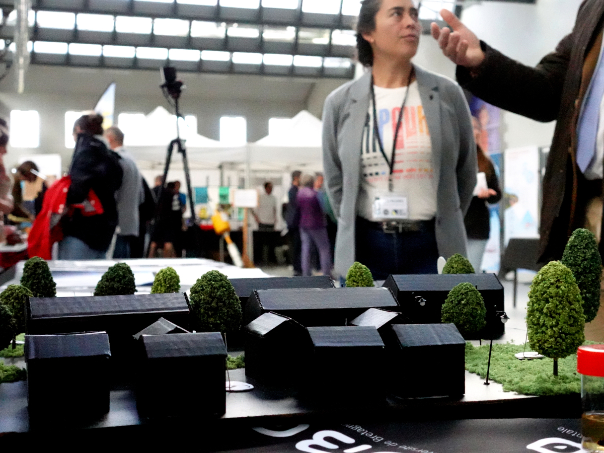
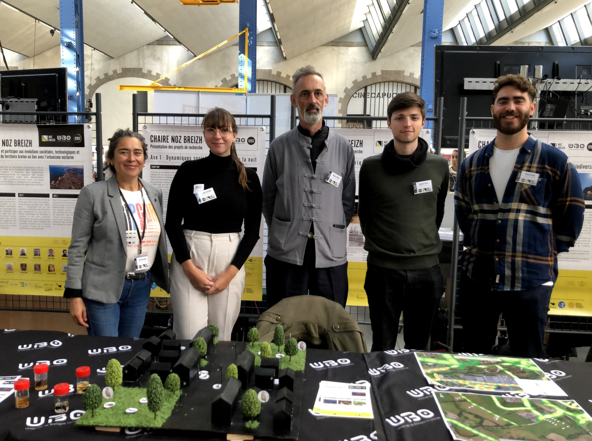
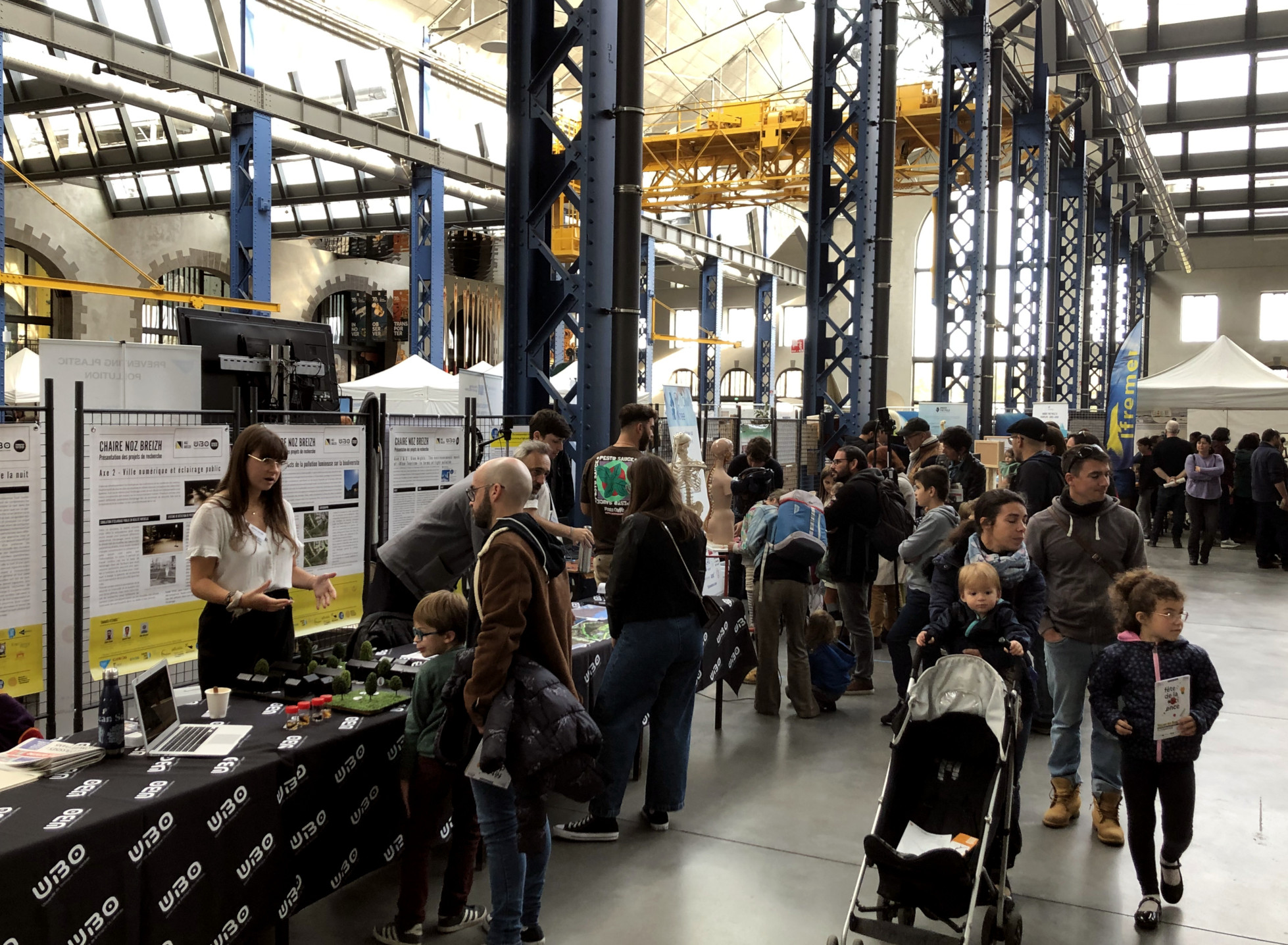
Nous sommes ravi·e·s d'avoir pu présenter la chaire à l'occasion de la Fête de la Science, événement national chapeauté par Océanopolis au niveau local. Nous avons eu plaisir à répondre aux questions des personnes qui sont venues deux jours durant nous rendre visite sur notre stand au sein du Village des Sciences de Brest, situé aux Ateliers des Capucins.
Rendez-vous en 2023 !